News

Four months of autonomous Arctic lidar operation at Andøya

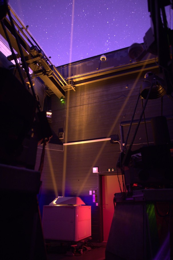
After more than four months of operation at Andøya Space, the first atmospheric lidar developed in EULIAA continues to run “business as usual”.
The mobile IR lidar has been measuring autonomously whenever Arctic winter weather allows, without any need for optical realignment or maintenance, while maintaining stable performance.
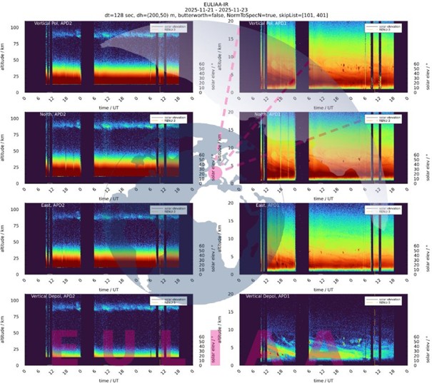
It retrieves wind and temperature in real time from aerosol scattering (up to ~25 km), molecular scattering (up to ~50 km) and metal layers (up to ~100 km), providing unique data to improve numerical weather prediction and climate monitoring.
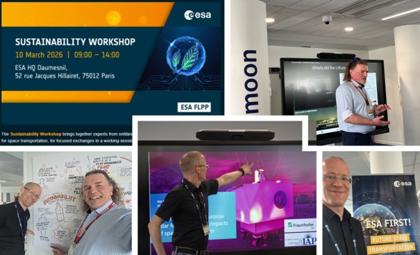
EULIAA results at ESA Sustainability Workshop

EULIAA partners from IAP and Fraunhofer ILT contributed to the ESA Sustainability Workshop at ESA HQ in Paris, focusing on sustainable space transportation.
They presented lidar measurements of rocket‑propellant aerosols throughout the atmosphere during a launch at Andøya Space, highlighting the largely unknown impacts of launch activities on the 70–100 km region and the ozone layer.
The same technology also has potential to detect material from burnt‑up space debris; ESA supports related work on Alexandrite lasers within an OSIP activity.

Media coverage on space debris and the atmosphere

The project shared a Tagesschau.de article in which Prof. Gerd Baumgarten (IAP) discusses how re‑entering space debris could affect the ozone layer and upper atmosphere.
The piece emphasises that particles released during re‑entry can interact with atmospheric processes and that this issue becomes more pressing as satellite numbers and launch rates grow.
Understanding these effects is essential for sustainable space operations and environmental responsibility, and aligns with EULIAA’s broader focus on upper‑atmosphere dynamics.

Weltraumschrott: Satelliten könnten Gefahr für die Erdatmosphäre werden | tagesschau.de

EarthCARE science and validation workshop in Tokyo

Andøya Space reported on participation in the EarthCARE science and validation workshop in Tokyo, where measurements from the ALOMAR observatory are used to validate ESA–JAXA EarthCARE satellite data.
While this activity is led by Andøya and partners, it demonstrates the broader ecosystem of atmospheric observations in which EULIAA lidar data can complement spaceborne cloud and aerosol measurements.
The workshop underscores the importance of coordinated satellite and ground‑based validation efforts for climate and radiation studies.

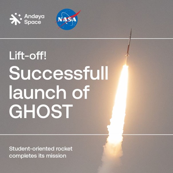
EULIAA lidar supports NASA GHOST launch at Andøya

During the NASA GHOST student mission launch from Andøya Space, the EULIAA atmospheric lidar system measured wind conditions from 3–30 km altitude right up to launch time.
This was one of the first operational tests at the beginning of the Andøya campaign and showed the potential of EULIAA data to support launch operations.
In the future, the system aims to provide real‑time wind information from ground up to ~100 km for ground control and mission safety.